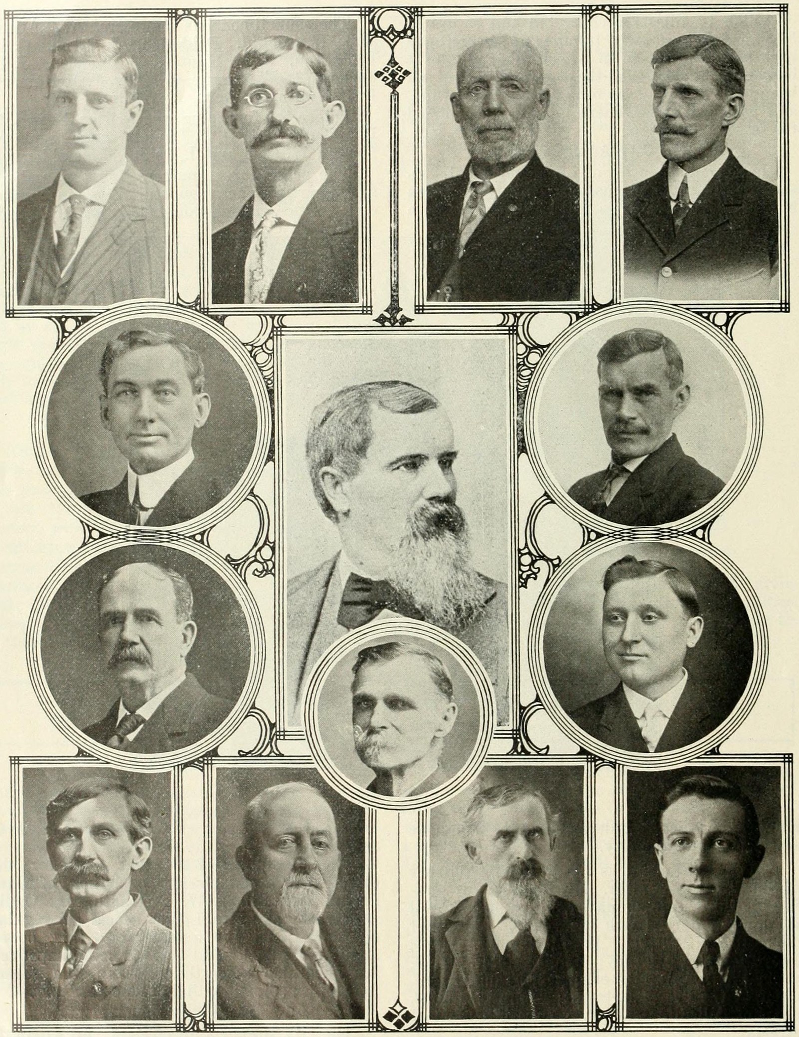
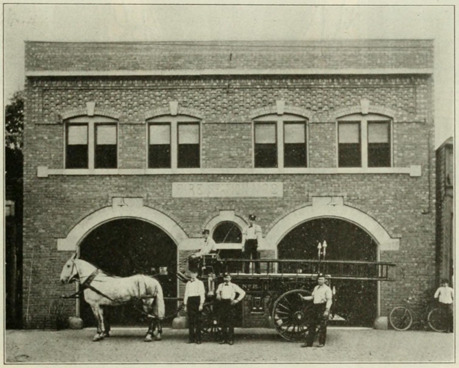
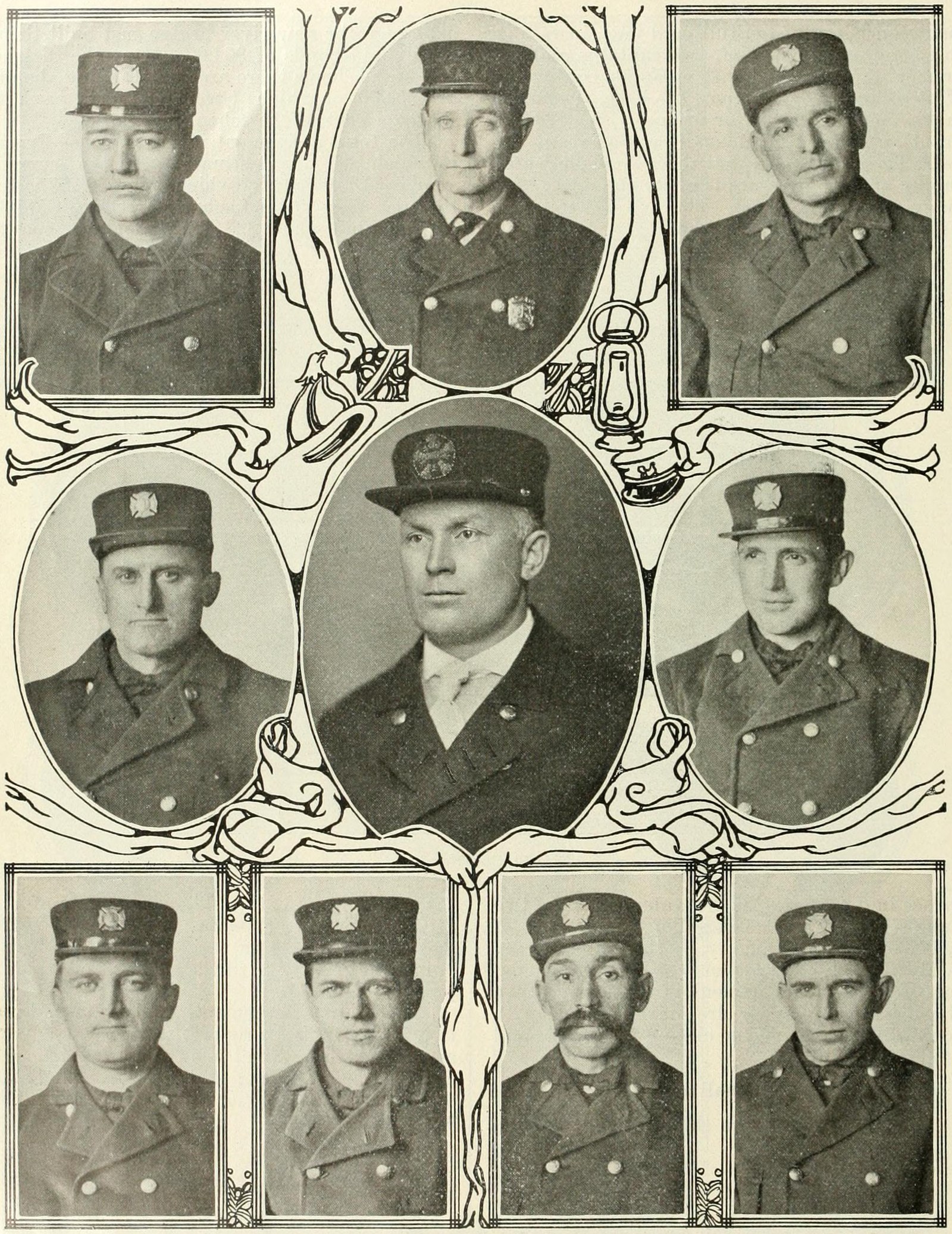
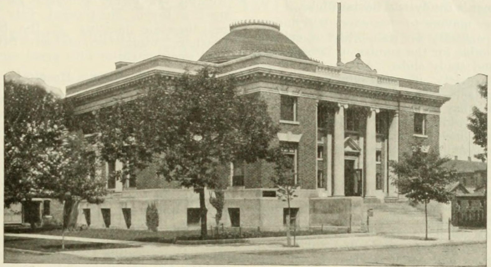
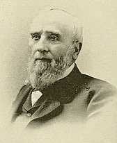
These historical images of Streator, Illinois are in the public domain or have no known copyright restrictions. Each photo is credited to its source below its caption, with a link back to the original collection.
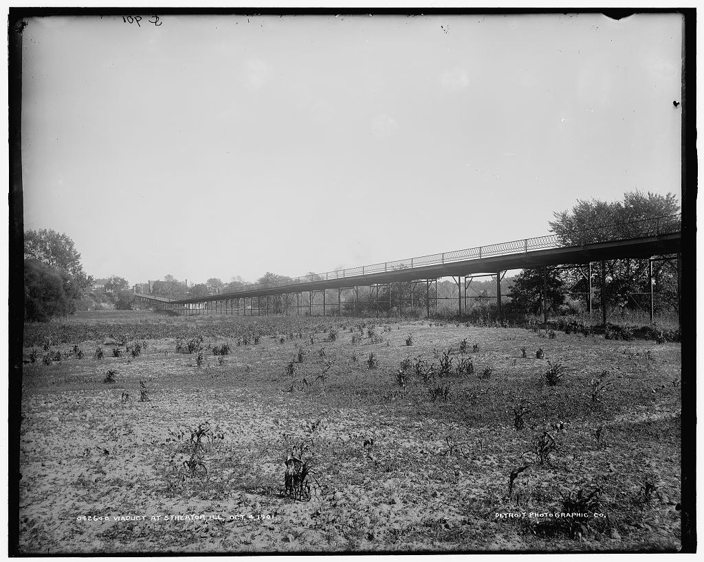
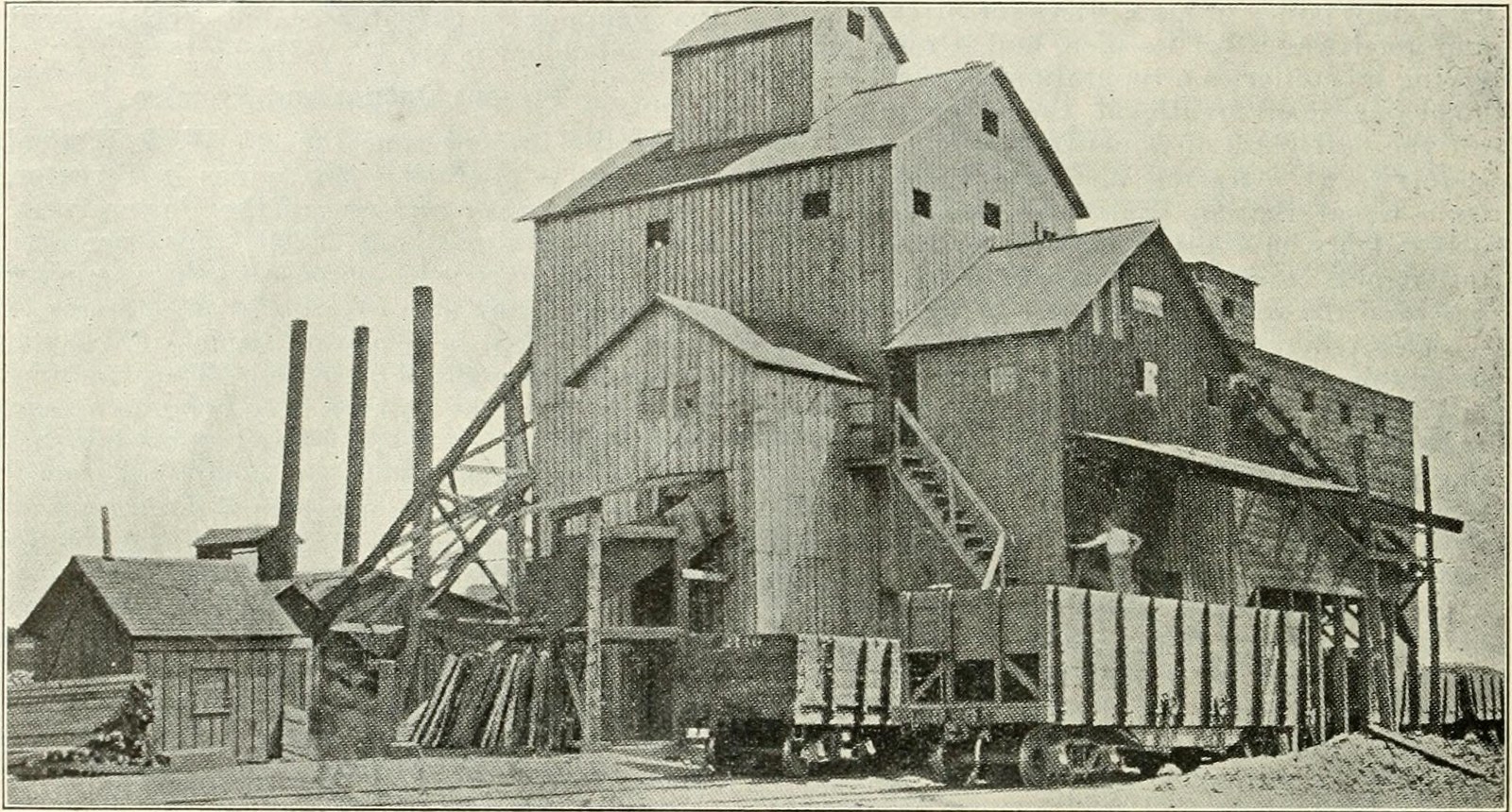
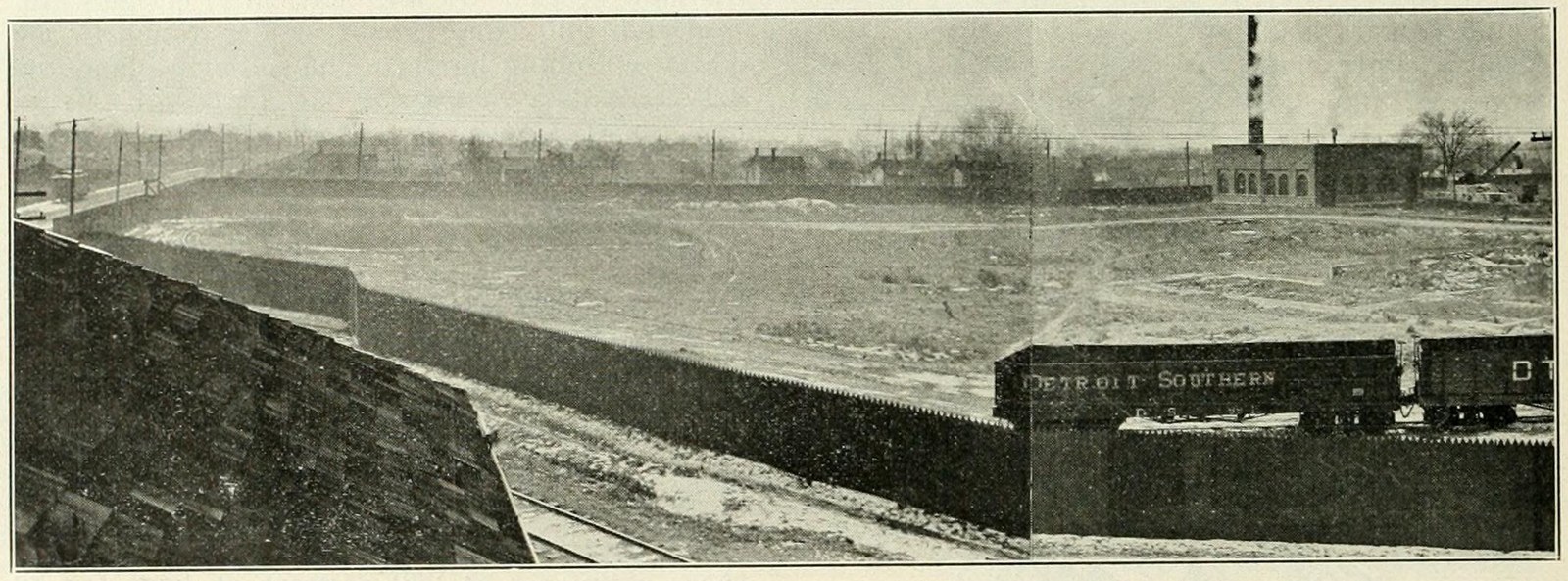
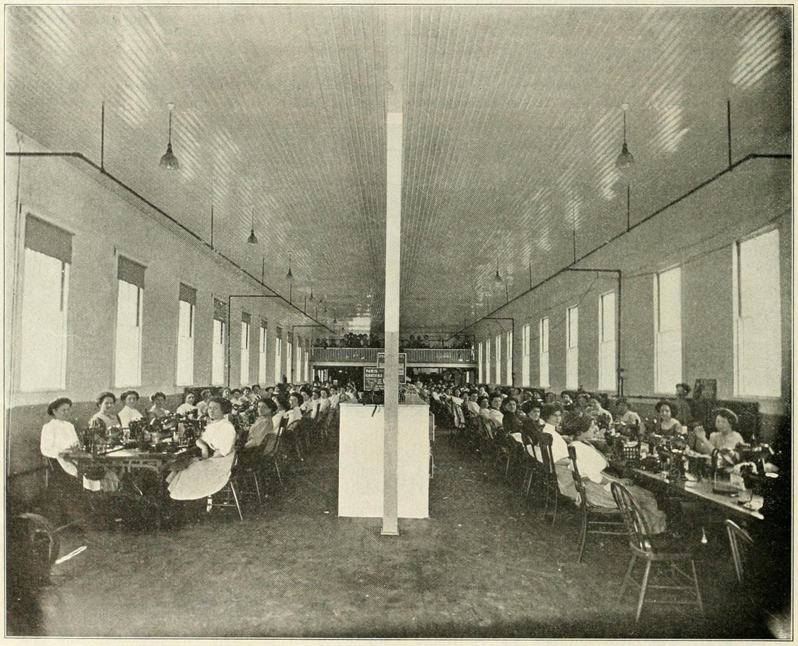
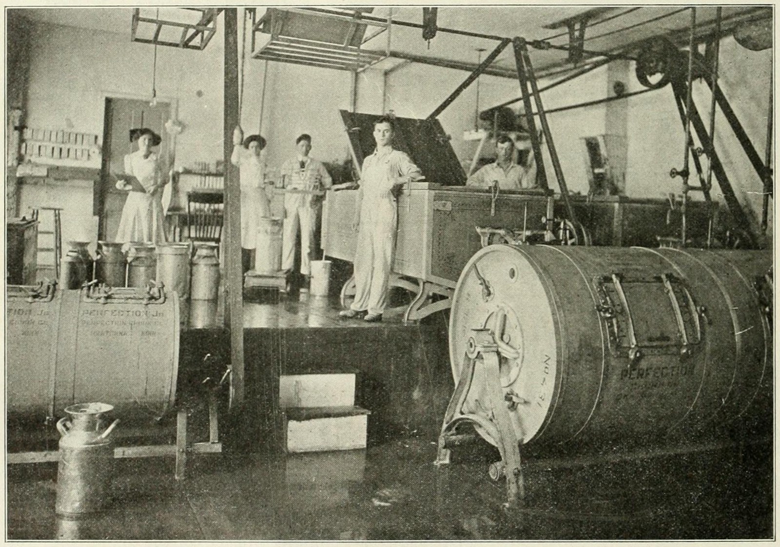
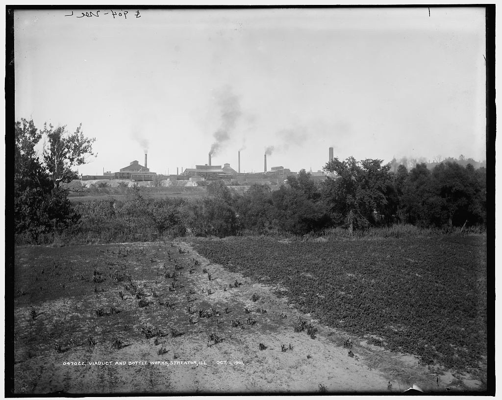
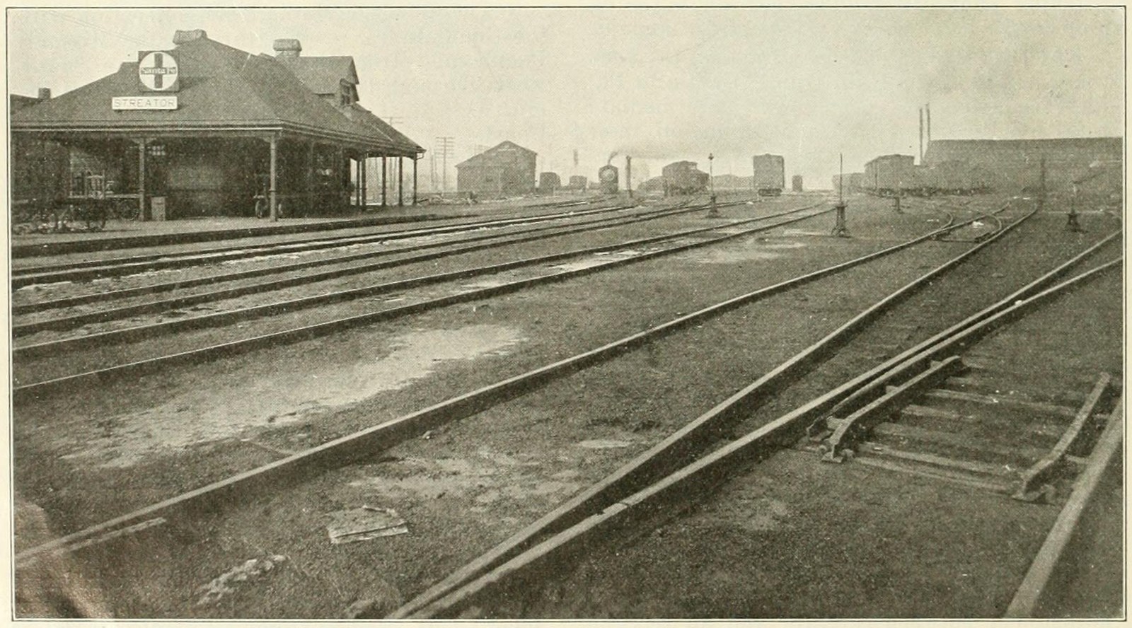
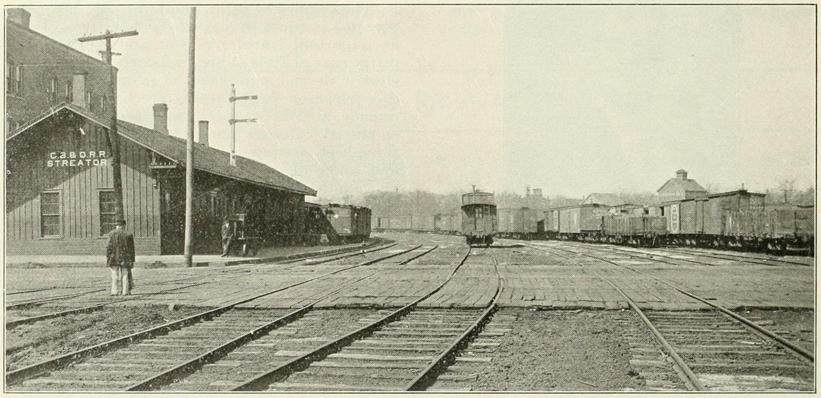
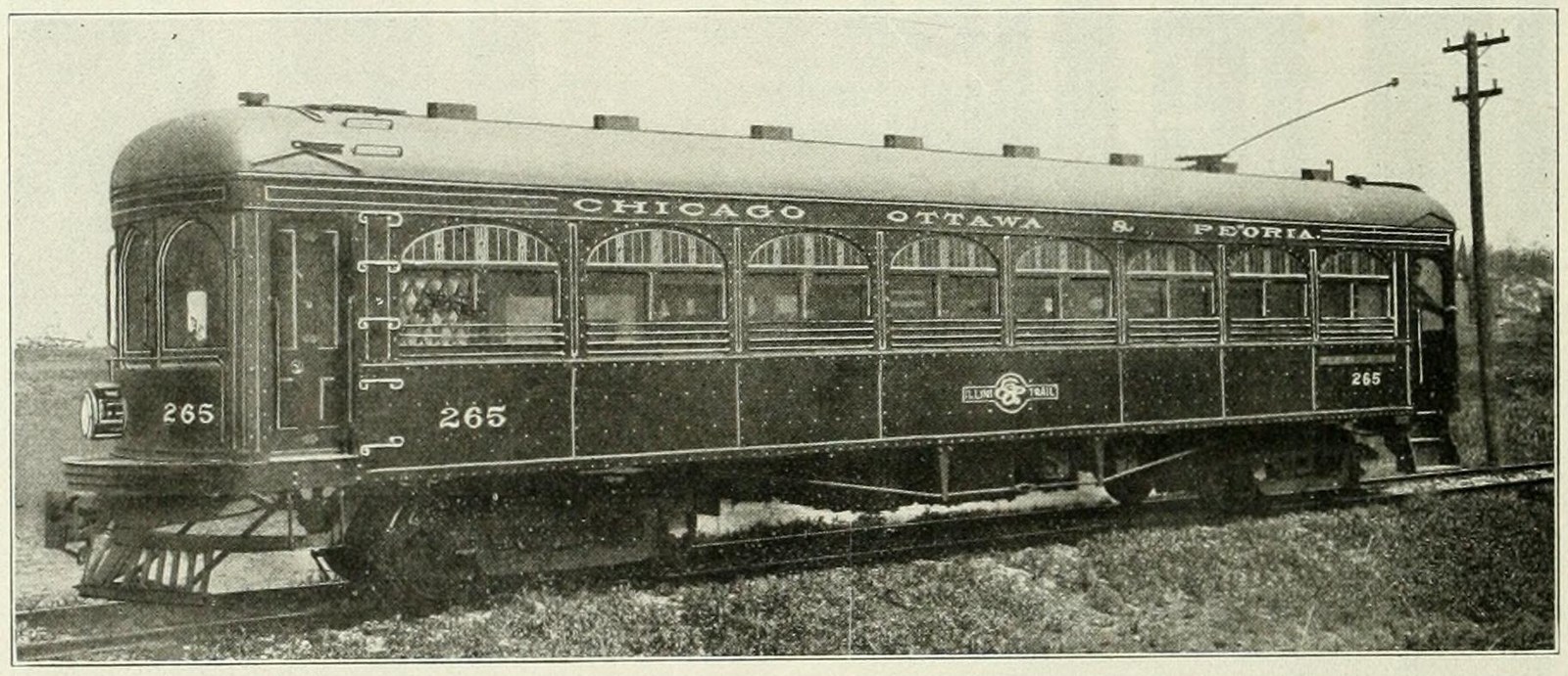
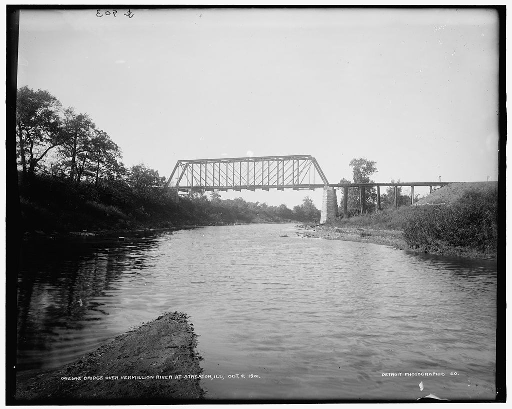
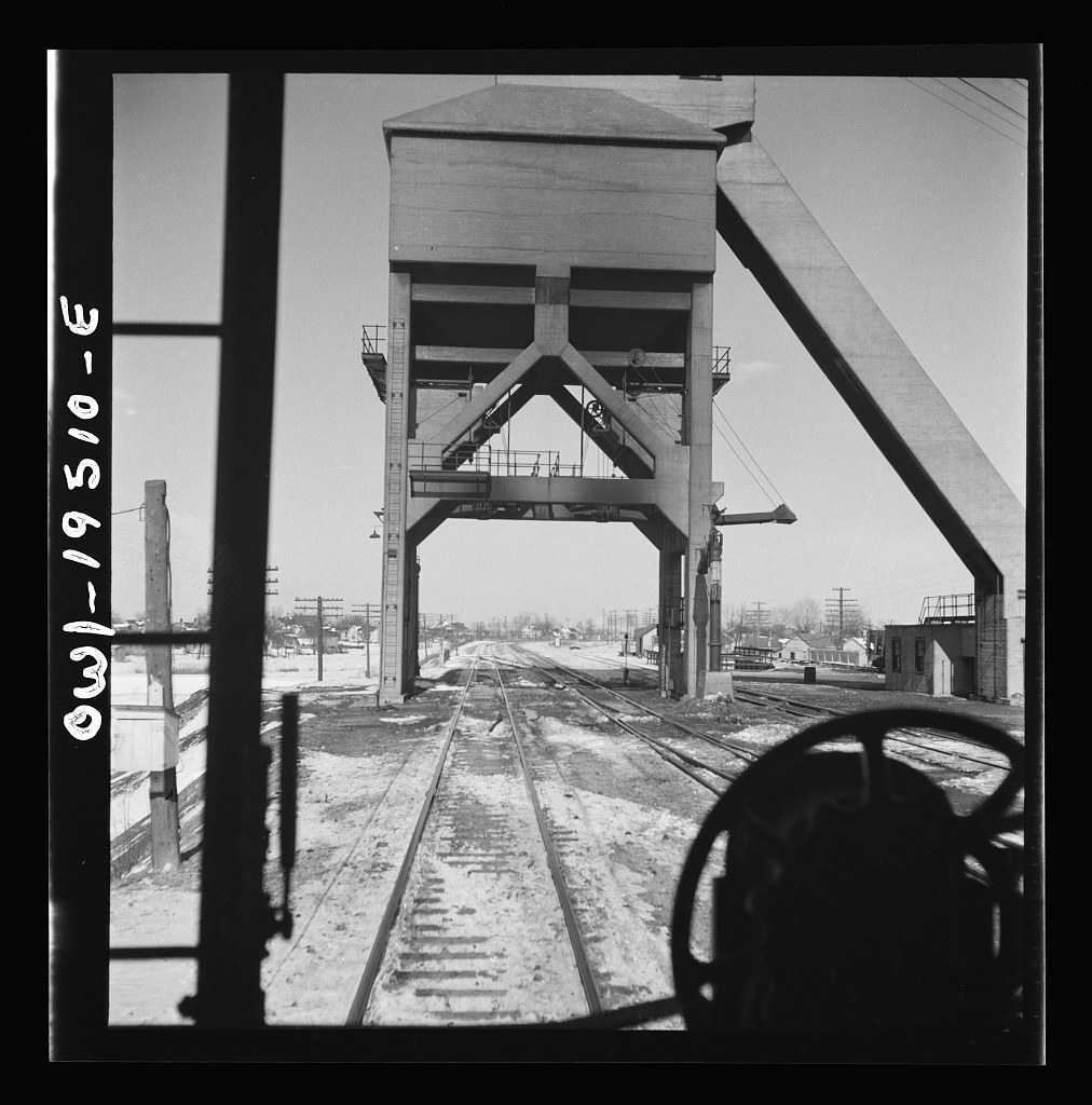
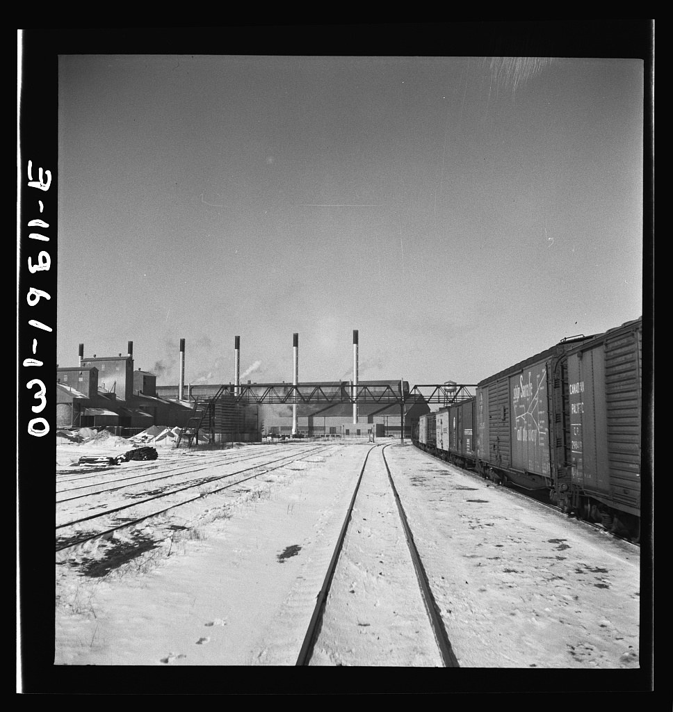
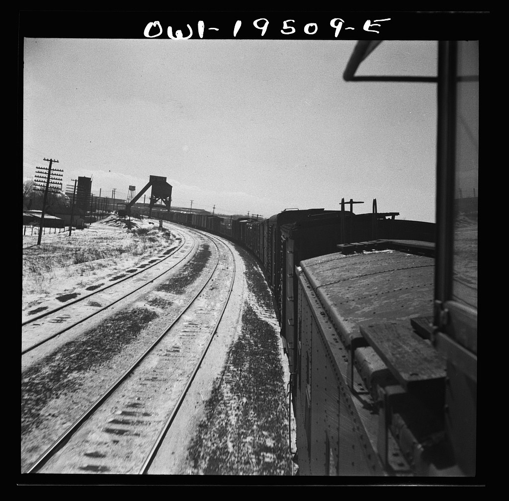
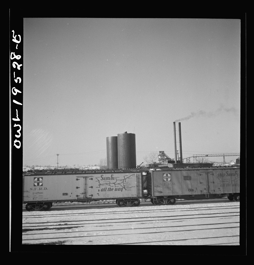
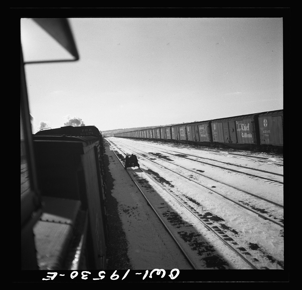
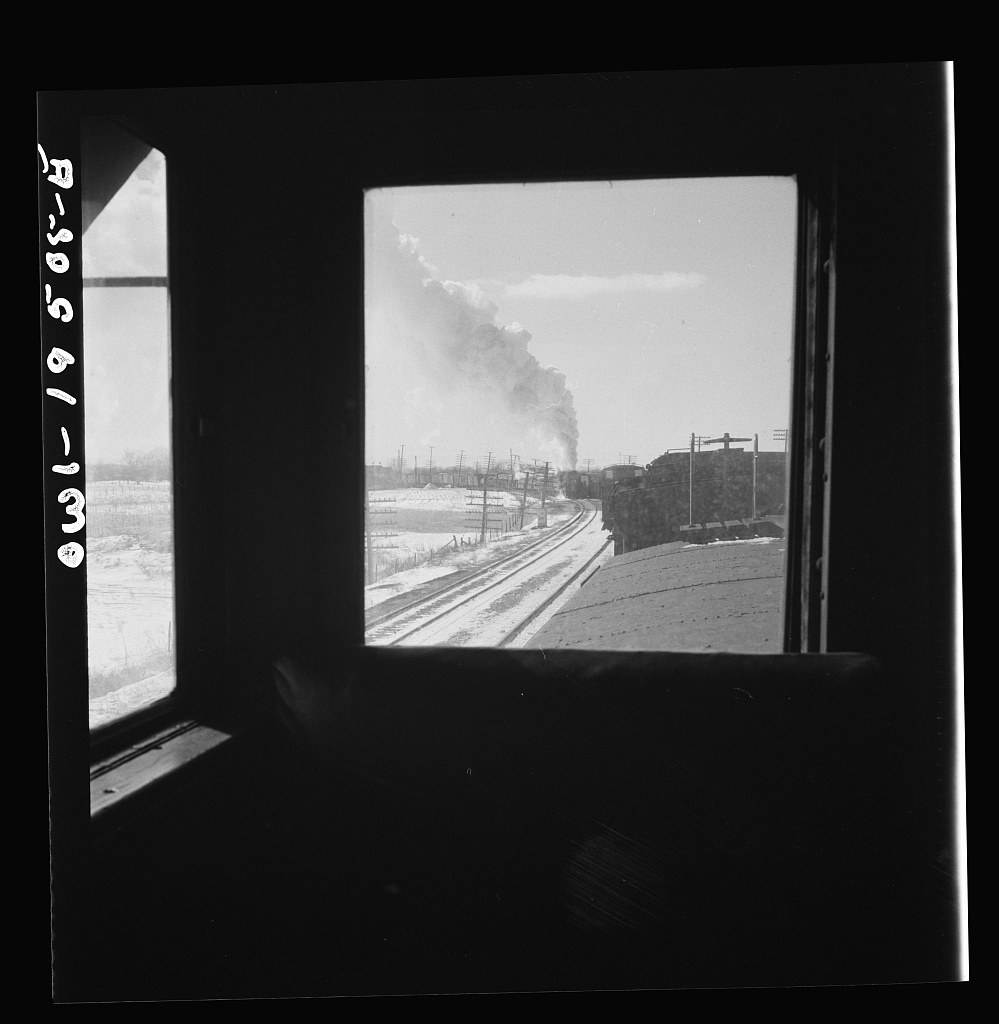
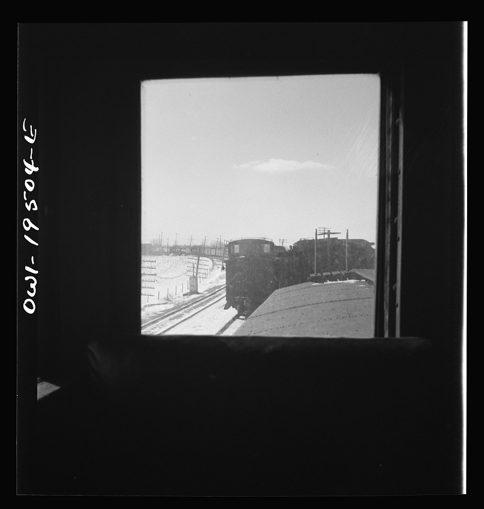
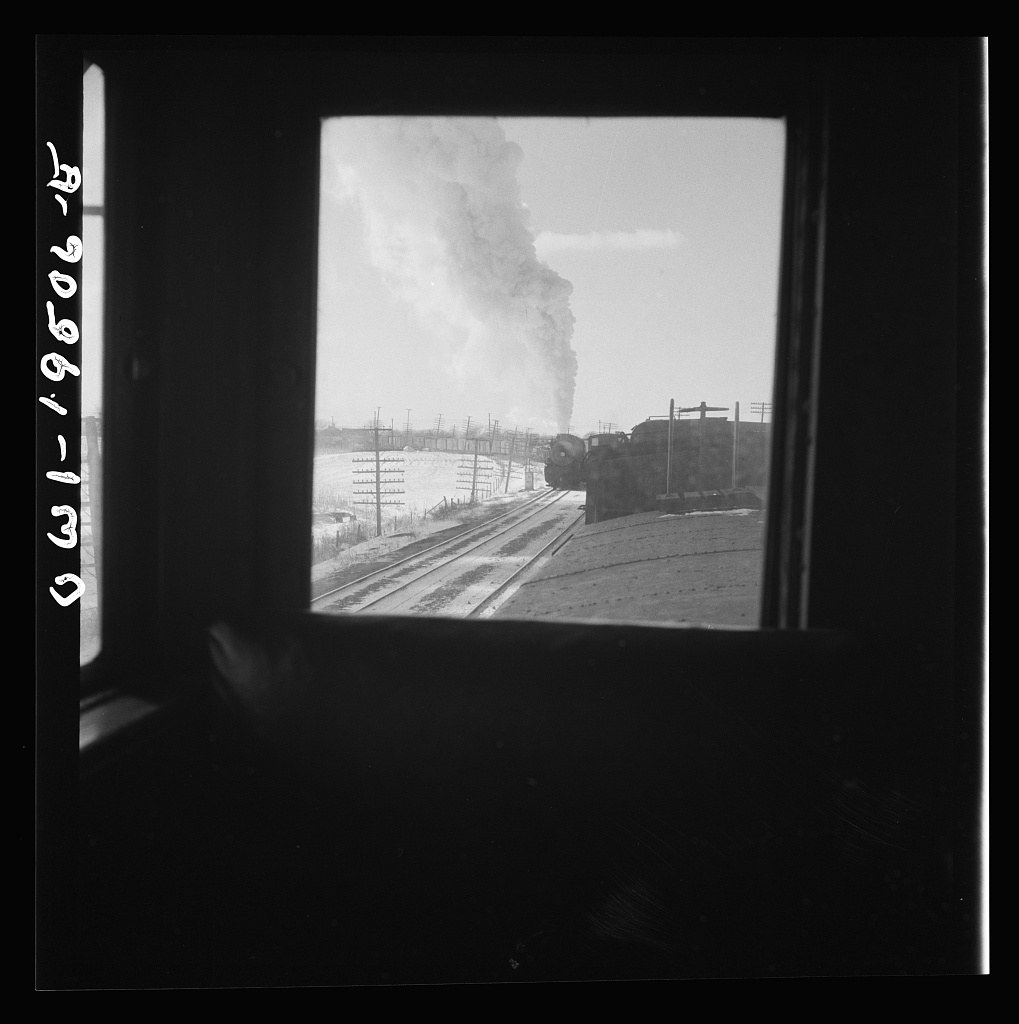
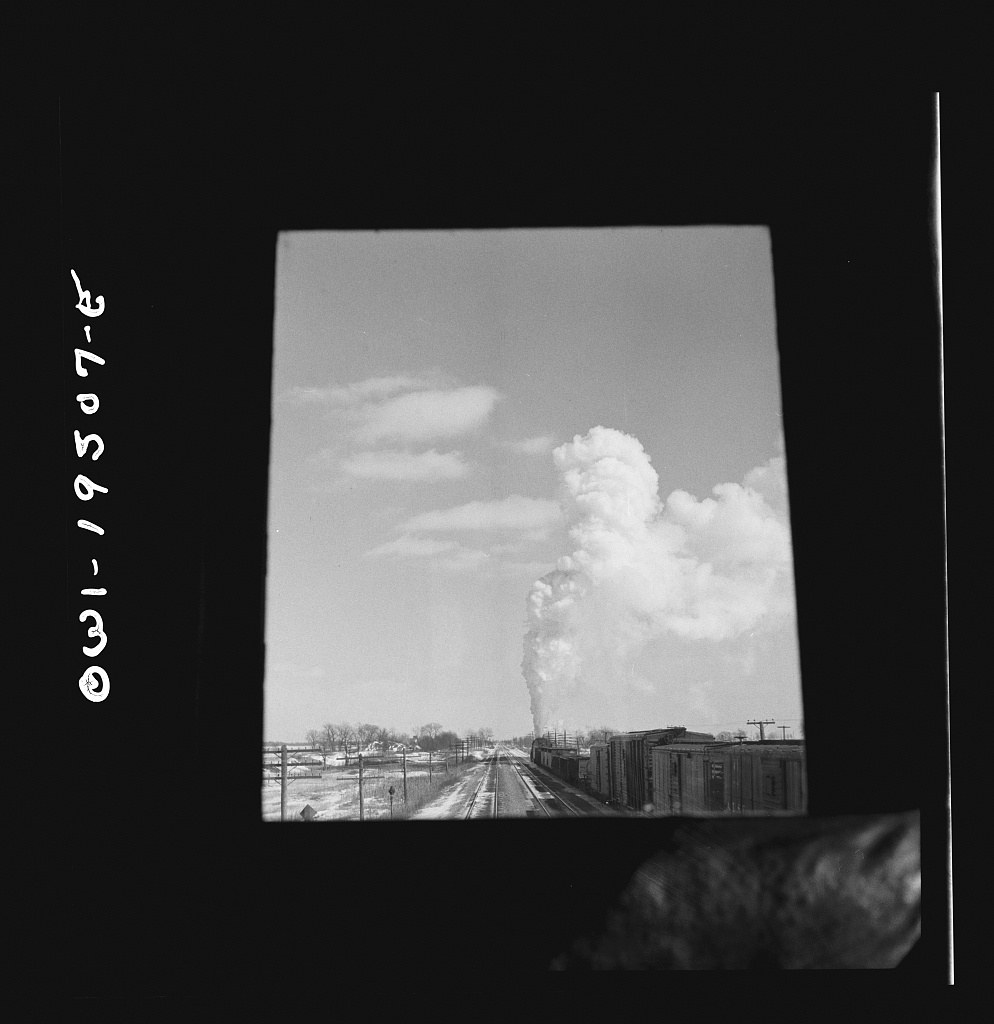
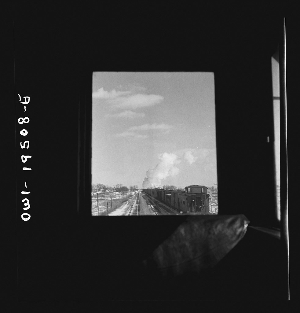
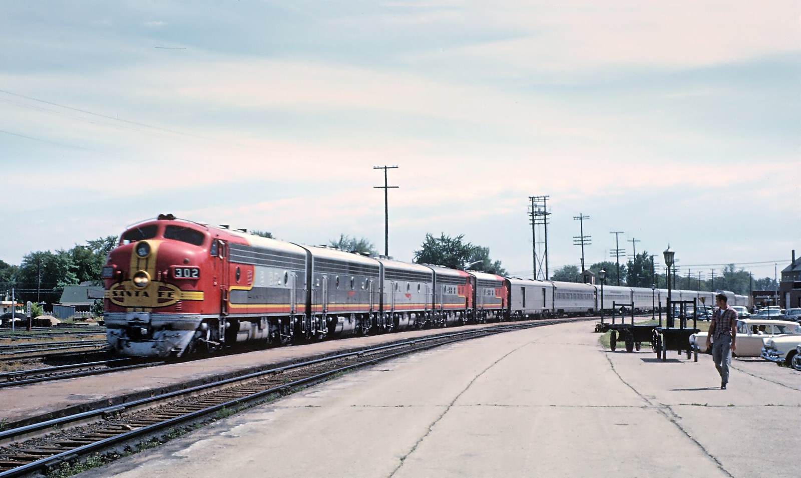
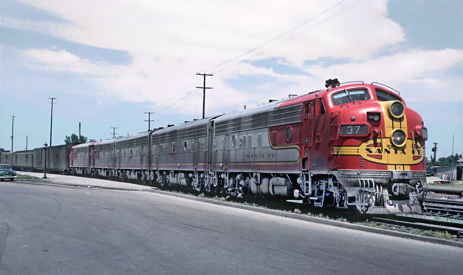
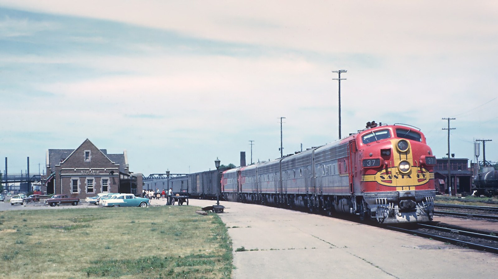
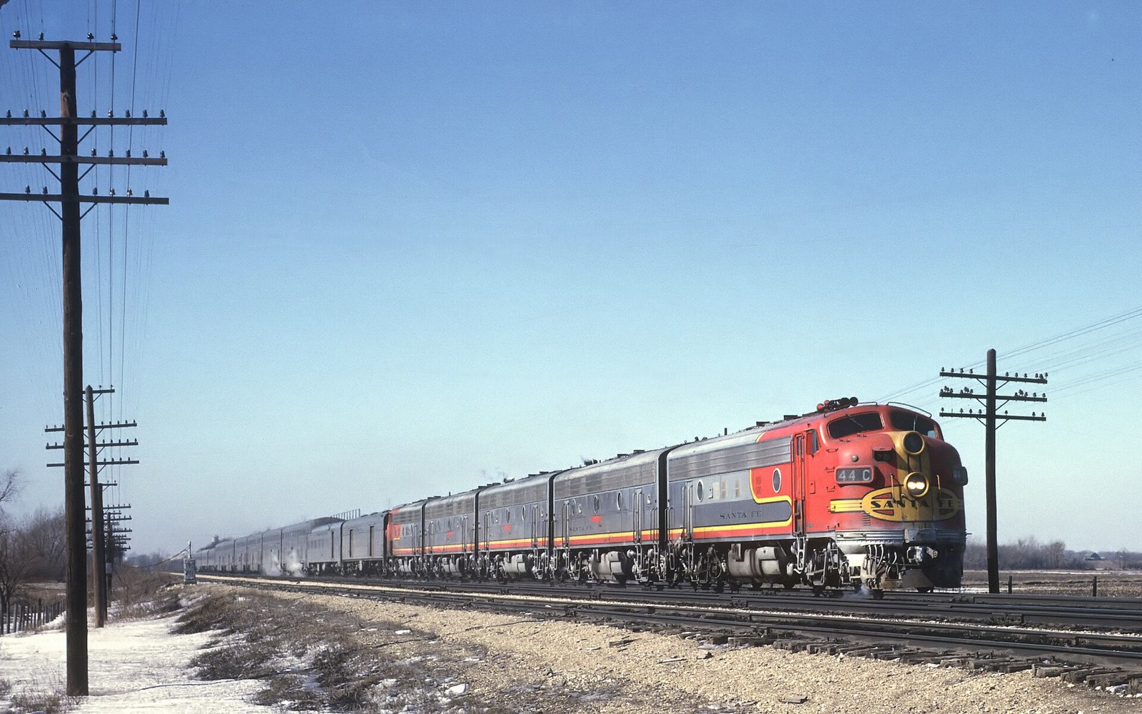
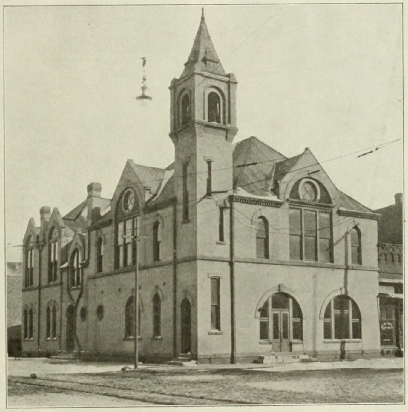
View of Santa Fe Yards and Station (c. 1912). Photograph captioned "View of Santa Fe Yards and Station" in The Story of Streator (1912), published by The Independent-Times, Streator. Source: Internet Archive – The Story of Streator (Williams, 1912), Univ. of Illinois Urbana-Champaign, Public domain (published 1912, US).View of C. B. & Q. Yards and Station (c. 1912). Photograph captioned "View of C. B. & Q. Yards and Station" in The Story of Streator (1912), published by The Independent-Times, Streator. Source: Internet Archive – The Story of Streator (Williams, 1912), Univ. of Illinois Urbana-Champaign, Public domain (published 1912, US).The New Steel-Model Interurban Passenger Car (c. 1912). Photograph captioned "The New Steel-Model Interurban Passenger Car" in The Story of Streator (1912), published by The Independent-Times, Streator. Source: Internet Archive – The Story of Streator (Williams, 1912), Univ. of Illinois Urbana-Champaign, Public domain (published 1912, US).Bridge over Vermillion [sic] River at Streator, Ill. (1901). Bridge over Vermillion [sic] River at Streator, Ill. Detroit Publishing Co. photograph. Source: Library of Congress, Prints & Photographs Division (Detroit Publishing Co.), No known restrictions on publication (LOC).Streator, Illinois. The coal chutes along the Atchison, Topeka and Santa Fe Railroad between Chicago and Chillicothe, Il (1943). Streator, Illinois. The coal chutes along the Atchison, Topeka and Santa Fe Railroad between Chicago and Chillicothe, Illinois. Photograph by Jack Delano for the U.S. Office of War Information. Source: Library of Congress, Prints & Photographs Division (FSA/OWI (Jack Delano)), No known restrictions on publication (LOC).Streator, Illinois. Going through the Atchison, Topeka and Santa Fe Railroad yard. In the background is a large bottling (1943). Streator, Illinois. Going through the Atchison, Topeka and Santa Fe Railroad yard. In the background is a large bottling works. Photograph by Jack Delano for the U.S. Office of War Information. Source: Library of Congress, Prints & Photographs Division (FSA/OWI (Jack Delano)), No known restrictions on publication (LOC).Related view: Streator, Illinois. The coal chutes along the Atchison, Topeka and Santa Fe Railroad between Chicago and C (1943). Untitled photo, possibly related to: Streator, Illinois. The coal chutes along the Atchison, Topeka and Santa Fe Railroad between Chicago and Chillicothe, Illinois. Photograph by Jack Delano for the U.S. Office of War Information. Source: Library of Congress, Prints & Photographs Division (FSA/OWI (Jack Delano)), No known restrictions on publication (LOC).Related view: Streator, Illinois. Going through the Atchison, Topeka and Santa Fe Railroad yard. In the background is a (1943). Untitled photo, possibly related to: Streator, Illinois. Going through the Atchison, Topeka and Santa Fe Railroad yard. In the background is a large bottling works. Photograph by Jack Delano for the U.S. Office of War Information. Source: Library of Congress, Prints & Photographs Division (FSA/OWI (Jack Delano)), No known restrictions on publication (LOC).Related view: Streator, Illinois. Going through the Atchison, Topeka and Santa Fe Railroad yard. In the background is a (2) (1943). Untitled photo, possibly related to: Streator, Illinois. Going through the Atchison, Topeka and Santa Fe Railroad yard. In the background is a large bottling works. Photograph by Jack Delano for the U.S. Office of War Information. Source: Library of Congress, Prints & Photographs Division (FSA/OWI (Jack Delano)), No known restrictions on publication (LOC).Streator (vicinity), Illinois. Passing an eastbound freight train on the Atchison, Topeka and Santa Fe Railroad between (1943). Streator (vicinity), Illinois. Passing an eastbound freight train on the Atchison, Topeka and Santa Fe Railroad between Chicago and Chillicothe, Illinois. Seen through the window of the cupola. Photograph by Jack Delano for the U.S. Office of War Information. Source: Library of Congress, Prints & Photographs Division (FSA/OWI (Jack Delano)), No known restrictions on publication (LOC).Related view: Streator (vicinity), Illinois. Passing an eastbound freight train on the Atchison, Topeka and Santa Fe Rai (1943). Untitled photo, possibly related to: Streator (vicinity), Illinois. Passing an eastbound freight train on the Atchison, Topeka and Santa Fe Railroad between Chicago and Chillicothe, Illinois. Seen through the window of the cupola. Photograph by Jack Delano for the U.S. Office of War Information. Source: Library of Congress, Prints & Photographs Division (FSA/OWI (Jack Delano)), No known restrictions on publication (LOC).Related view: Streator (vicinity), Illinois. Passing an eastbound freight train on the Atchison, Topeka and Santa Fe Rai (2) (1943). Untitled photo, possibly related to: Streator (vicinity), Illinois. Passing an eastbound freight train on the Atchison, Topeka and Santa Fe Railroad between Chicago and Chillicothe, Illinois. Seen through the window of the cupola. Photograph by Jack Delano for the U.S. Office of War Information. Source: Library of Congress, Prints & Photographs Division (FSA/OWI (Jack Delano)), No known restrictions on publication (LOC).Related view: Streator (vicinity), Illinois. Passing an eastbound freight train on the Atchison, Topeka and Santa Fe Rai (3) (1943). Untitled photo, possibly related to: Streator (vicinity), Illinois. Passing an eastbound freight train on the Atchison, Topeka and Santa Fe Railroad between Chicago and Chillicothe, Illinois. Seen through the window of the cupola. Photograph by Jack Delano for the U.S. Office of War Information. Source: Library of Congress, Prints & Photographs Division (FSA/OWI (Jack Delano)), No known restrictions on publication (LOC).Related view: Streator (vicinity), Illinois. Passing an eastbound freight train on the Atchison, Topeka and Santa Fe Rai (4) (1943). Untitled photo, possibly related to: Streator (vicinity), Illinois. Passing an eastbound freight train on the Atchison, Topeka and Santa Fe Railroad between Chicago and Chillicothe, Illinois. Seen through the window of the cupola. Photograph by Jack Delano for the U.S. Office of War Information. Source: Library of Congress, Prints & Photographs Division (FSA/OWI (Jack Delano)), No known restrictions on publication (LOC).Santa Fe "Warbonnet" passenger train at Streator, July 1963 (1963-07). These are Roger Puta's photographs. ATSF 302 (F7A) with Train 2, The San Francisco Chief, at Streator, IL in July 1963 Source: Wikimedia Commons, Public domain.Santa Fe "Warbonnet" passenger train at Streator, July 1963 (2) (1963-07). These are Roger Puta's photographs. ATSF 37L (F7A) with Train 23, The Grand Canyon, at Streator, IL in July 1963. Note, the "L" is above the buffer. Source: Wikimedia Commons, Public domain.Santa Fe "Warbonnet" passenger train at Streator, July 1963 (3) (1963-07). These are Roger Puta's photographs. ATSF 37L (F7A) with Train 23, The Grand Canyon, at Streator, IL in July 1963. Note, the "L" is above the buffer. Source: Wikimedia Commons, Public domain.Train 18, the Super Chief–El Capitan, east of Streator, January 28, 1967 (1967-01-28). Train 18, The Super Chief – El Capitan , east of Streator, IL on January 28, 1967 A Roger Puta Photograph Source: Wikimedia Commons, Public domain.
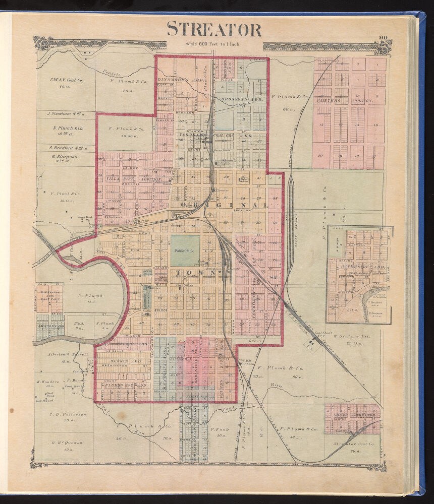
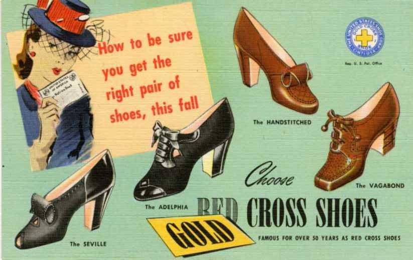
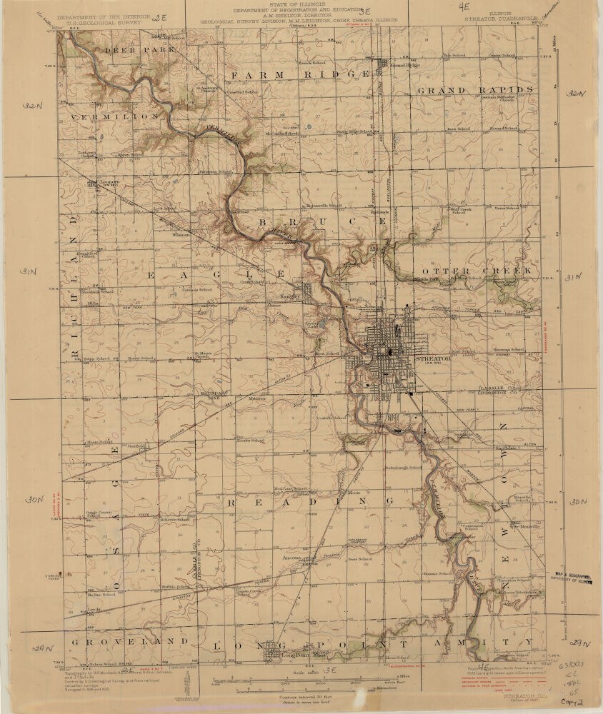
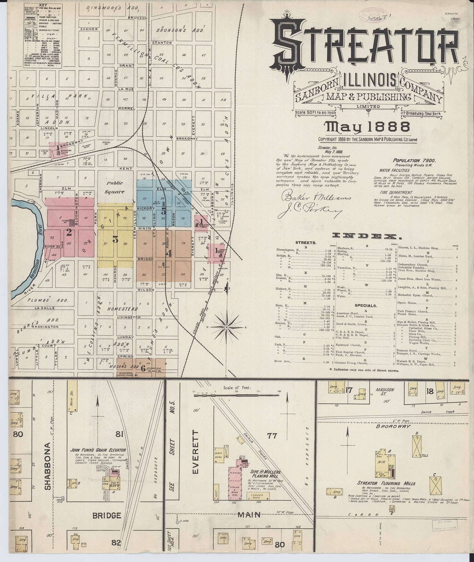
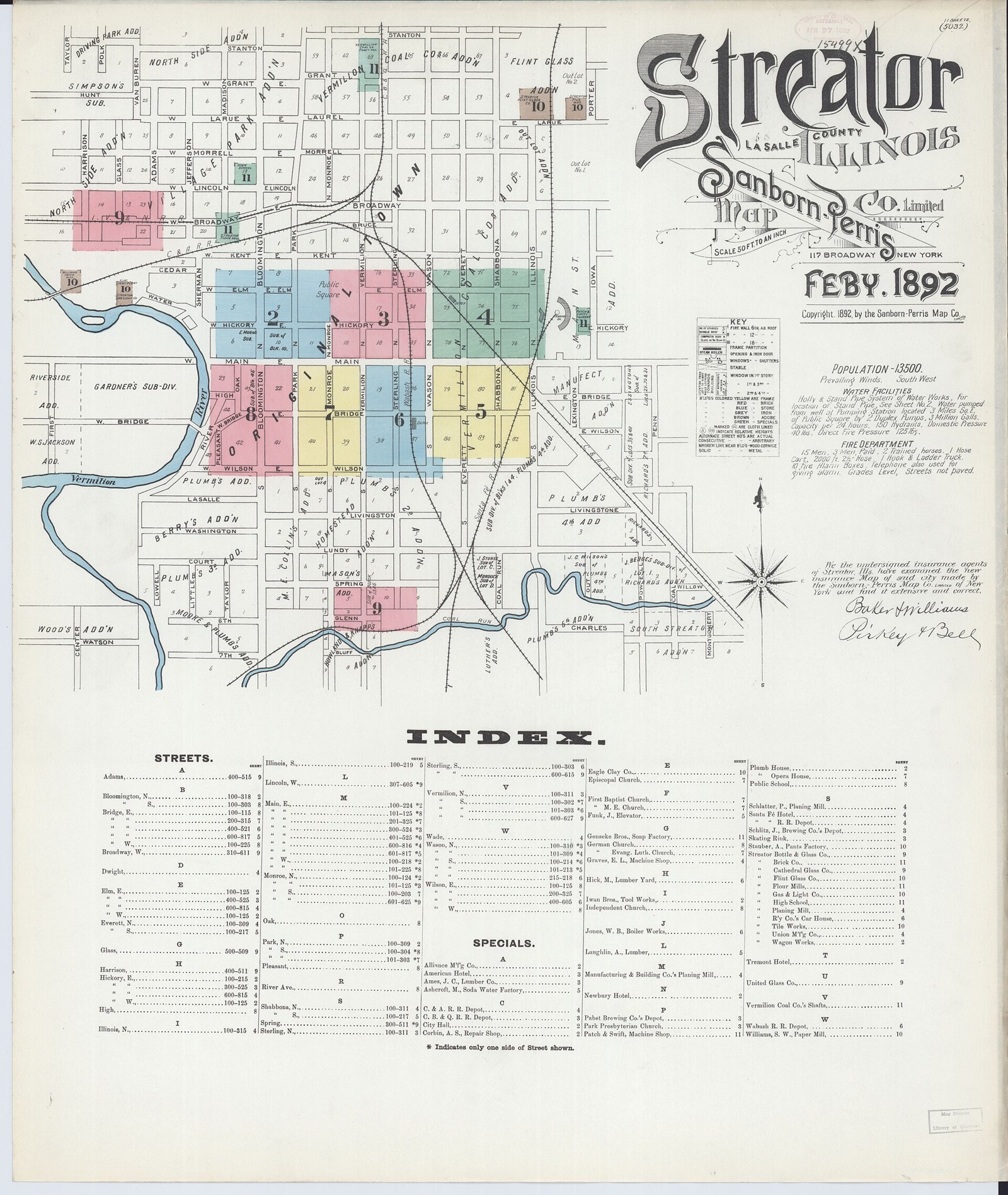
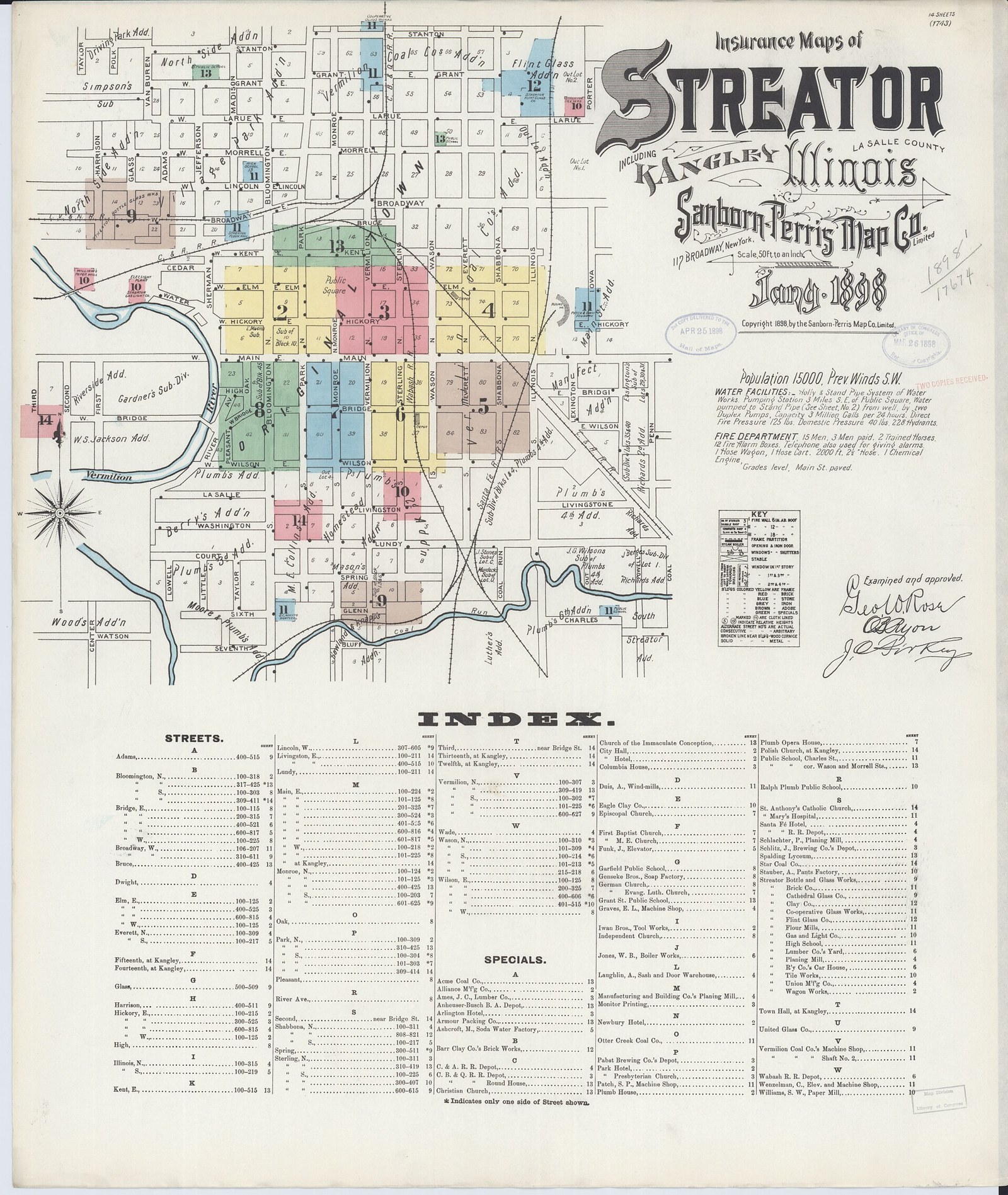
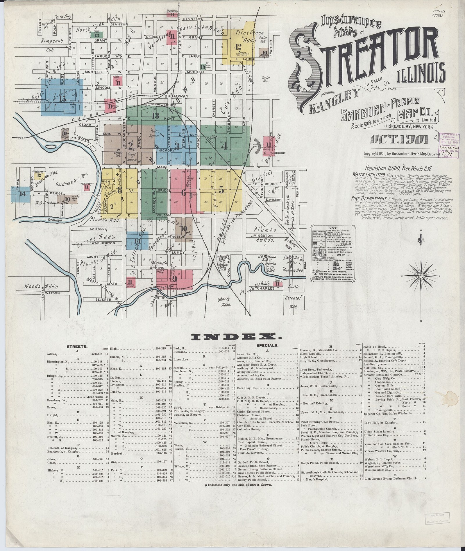
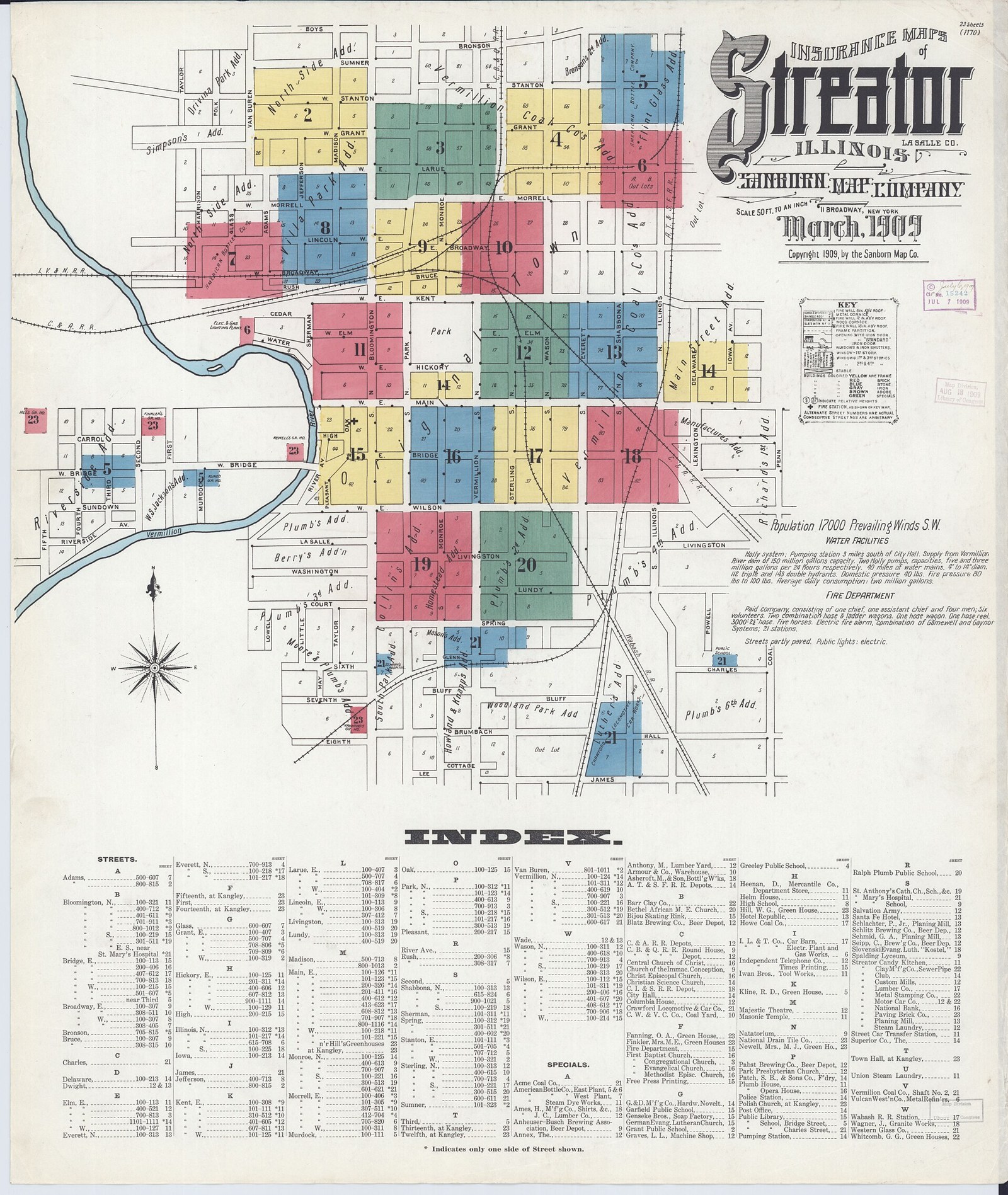
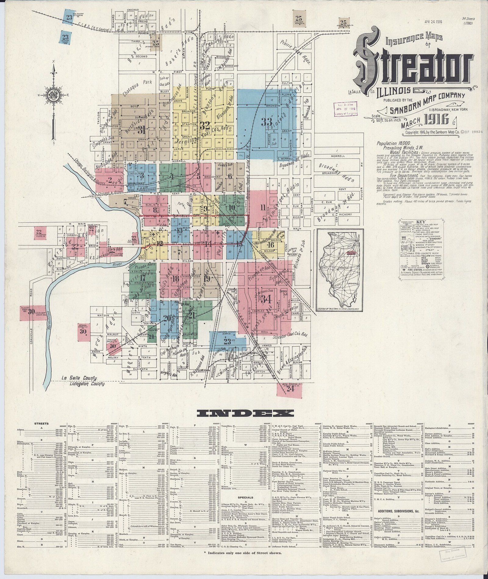
Atlas of LaSalle County, 1876 (map page) (1876). Atlas of LaSalle County, and the state of Illinois, to which is added an atlas of the United States, maps of the hemispheres, etc. Source: Wikimedia Commons, Public domain.Red Cross Shoes advertisement, Streator Dry Goods Co., 1943 (1943). Gold, Red Cross Shoes, famous for over 50 years as Red Cross Shoes, Streator Dry Goods Co Source: Wikimedia Commons, Public domain.USGS Streator Quadrangle map, 1927 (1927). Contour interval 10 feet.; ""Surveyed in 1924 and 1925"".; Includes text on verso.; Relief shown by contours and spot heights.; Scale 1:62,500 Source: Wikimedia Commons, Public domain.Sanborn Fire Insurance Map of Streator, 1888 (sheet 1) (1888-05). Sanborn Fire Insurance Map from Streator, La Salle County, Illinois. May 1888. 6 Sheet(s). Source: Wikimedia Commons (from Library of Congress Sanborn Maps collection), Public domain.Sanborn Fire Insurance Map of Streator, 1892 (sheet 1) (1892-02). Sanborn Fire Insurance Map from Streator, La Salle County, Illinois. Feb 1892. 11 Sheet(s). Source: Wikimedia Commons (from Library of Congress Sanborn Maps collection), Public domain.Sanborn Fire Insurance Map of Streator, 1898 (sheet 1) (1898-01). Sanborn Fire Insurance Map from Streator, La Salle County, Illinois. Jan 1898. 14 Sheet(s). Includes Kangley. Source: Wikimedia Commons (from Library of Congress Sanborn Maps collection), Public domain.Sanborn Fire Insurance Map of Streator, 1901 (sheet 1) (1901-10). Sanborn Fire Insurance Map from Streator, La Salle County, Illinois. Oct 1901. 15 Sheet(s). Includes Kangley. Source: Wikimedia Commons (from Library of Congress Sanborn Maps collection), Public domain.Sanborn Fire Insurance Map of Streator, 1909 (sheet 1) (1909-03). Sanborn Fire Insurance Map from Streator, La Salle County, Illinois. Mar 1909. 23 Sheet(s). Source: Wikimedia Commons (from Library of Congress Sanborn Maps collection), Public domain.Sanborn Fire Insurance Map of Streator, 1916 (sheet 1) (1916-03). Sanborn Fire Insurance Map from Streator, La Salle County, Illinois. Mar 1916. 34 Sheet(s). Source: Wikimedia Commons (from Library of Congress Sanborn Maps collection), Public domain.